
Drones
119 results
Drones
119 results
Consumer, prosumer and professional drones for aerial photography, mapping and inspection jobs that cannot be done safely from the ground. Listings show camera sensor, transmission range, maximum wind resistance and obstacle-avoidance features so operators pick a frame that matches the flight conditions and footage quality their clients will actually accept on delivery day.
Loading...

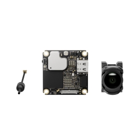


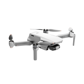

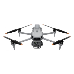


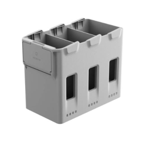

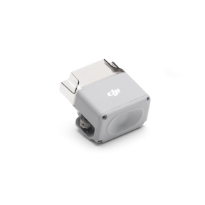

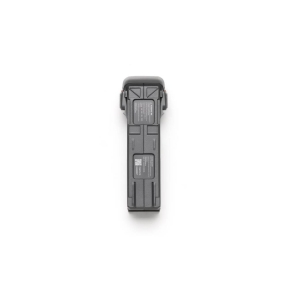

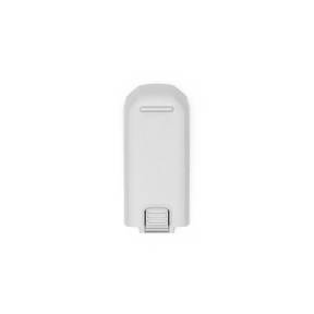

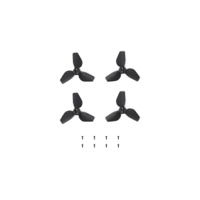

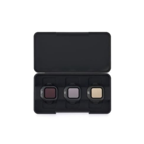
Drones for commercial aerial photography, site surveys, infrastructure inspections and mapping
Unmanned aerial vehicles have become indispensable tools for construction, engineering, agriculture, insurance, emergency services, and media production. Modern commercial drones combine high-resolution imaging, precise GPS navigation, and intelligent flight automation to deliver data and imagery that would otherwise require helicopters, scaffolding, or manual inspection teams.
Aerial photography and videography drones
Photography drones equipped with stabilised 4K or higher resolution cameras deliver broadcast-quality footage and stills for marketing, documentation, and event coverage. Gimbal-stabilised cameras eliminate vibration and ensure sharp imagery even in moderate wind conditions.
Survey and mapping drones
Fixed-wing and multirotor survey drones with RTK GPS deliver centimetre-level positional accuracy for photogrammetry, 3D mapping, and volumetric surveys. They integrate with industry-standard software such as Pix4D, DJI Terra, and Agisoft Metashape.
Inspection drones for infrastructure
Inspection drones are purpose-built for close-range examination of bridges, wind turbines, power lines, roofs, and other infrastructure. Many feature thermal cameras, zoom lenses, and narrow body designs that allow access to confined spaces.
Regulatory requirements for commercial drone use
Commercial drone operations require operator registration and, in most EU countries, category-specific authorisation under the EASA framework. Drones above 250g require registration. Operations near airports, over populated areas, or beyond visual line of sight require additional permits.
Frequently asked questions
- What drone licence do I need for commercial operations in Europe?
- Under EASA regulations, most commercial operations fall under the Open or Specific category. The A2 Certificate of Competency is required for close operations with drones in the Open category. Specific category operations require authorisation from the national aviation authority.
- What payload and camera specifications should I look for in a survey drone?
- For photogrammetry surveys, look for a drone with a mechanical shutter camera, RTK GPS, and a flight time of at least 30 minutes. Camera resolution of 20 MP or higher ensures adequate ground sampling distance for most survey applications.
- Can drones be used for thermal inspection?
- Yes. Drones with integrated thermal cameras are widely used for building energy audits, electrical inspection, and solar panel surveys. Thermal payloads are available as integrated or swappable cameras on many professional drone platforms.
- How long can commercial drones fly on a single charge?
- Most commercial multirotor drones offer 25 to 45 minutes of flight time per battery. Fixed-wing drones can fly for 60 to 90 minutes or more. Multiple battery sets are recommended for extended operations.
- Is drone data compatible with GIS software?
- Yes. Survey drones generate geotagged images and point clouds that are directly compatible with GIS platforms including ArcGIS, QGIS, Pix4D, and DJI Terra.